King Charles’s Land Grants to William Penn and Celcilius Calvert
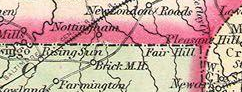
The Boundary
In 1632, King Charles I of England granted the Maryland Charter to Celcilius Calvert as a colony and haven for English Catholics. The northern boundary was set at 40 degrees latitude, which today would bisect the Temple University campus in Philadelphia.
King Charles II granted the colony of Pennsylvania to William Penn in 1682, as compensation for money owed by the Crown. As maps of the Colonies were inaccurate, boundary demarcations between the two colonies were contradictory and unclear, resulting in over 80 years of litigation, occasional bloodshed and tax evasion.
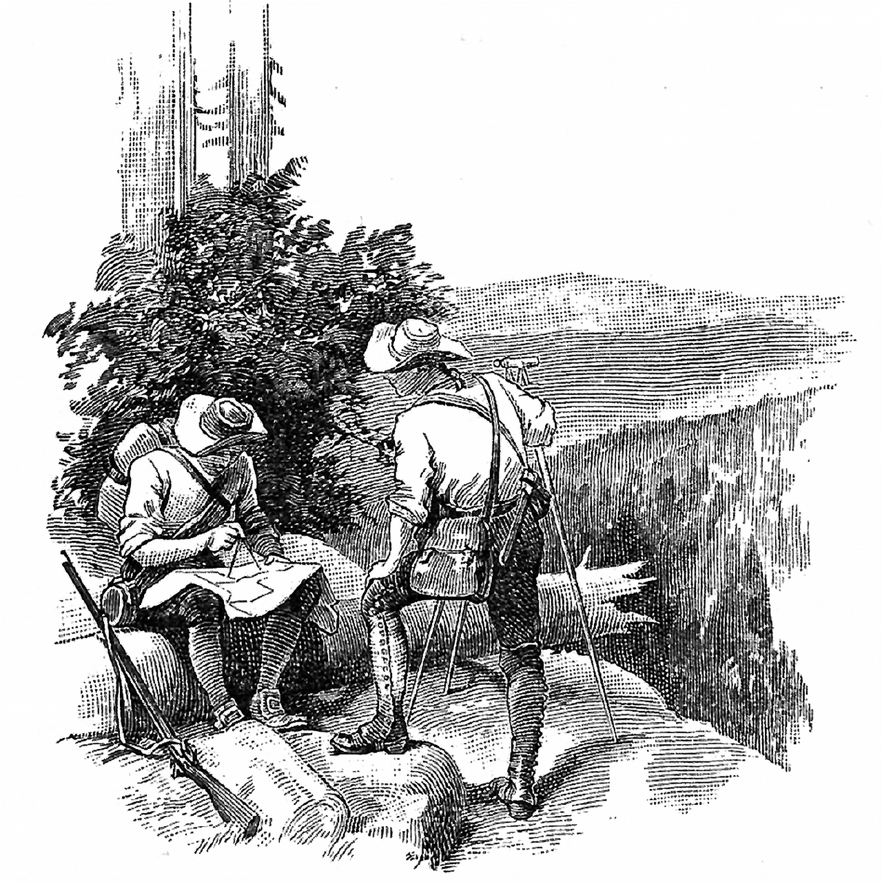
Culminating in 1732 with the commission to enlist astronomers/surveyors Charles Mason and Jeremiah Dixon. Mason was a respected member of the Royal Academies of Science. They arrived in America November 15, 1763 to survey and establish boundaries between the provinces of Maryland and Pennsylvania and the Delaware.